Dear Brushy Creek MUD residents,
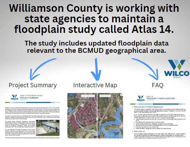
Williamson County is working to complete a study to update floodplain mapping throughout the county, including the Brushy Creek MUD area. The study, which kicked off in 2021, updates floodplain maps using current Atlas 14 rainfall data and updated models of streams and waterways to identify flood risk and exposure throughout the county.
 In 2018, the National Oceanic and Atmospheric Administration (NOAA) compiled and analyzed historical rainfall data to produce updated precipitation-frequency estimates, referred to as Atlas 14 Rainfall. Williamson County partnered with the Texas Water Development Board and received a grant to conduct the Atlas 14 Floodplain Mapping Study, which incorporates the newly established rainfall data.
While BCMUD did not contribute to the development of the study, the results and mapping include the District’s geographical area. Specifically, the draft maps show the limits of the proposed 100-year floodplain, which is the land area that is predicted to flood during a 100-year storm and has a 1% chance of occurring in any given year.
In May and June 2024, Williamson County hosted a series of informational meetings centered on the Atlas 14 Flood Study. The draft maps and a video of the information covered in the public meetings are available on the Williamson County website at https://www.wilcotx.gov/Atlas-14.
For any questions regarding the study or information about flooding on your property, Williamson County requests that you email atlas14@wilco.org or call 512-943-1195.